- Originalutgåva
- Föregående avsnitt S06E13 - Hands-On with the Avegant Glyph Head-Mounted…
- Antal S06E14
-
Externa länkar
YouTube-sida
-
Senaste uppdatering
25 juillet 2023 - 16:36
på 11 databaser -
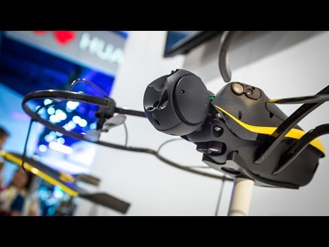
Aerial Mapping with Quadcopters and Drones
In the quadcopter space, Parrot may be best known for its AR.Drone and mini quads, but they're also behind two initiatives to use unmanned vehicles for aerial mapping. SenseFly and Pix4D are two departments making those vehicles and the 3D mapping software, and we learn about their latest quad at this year's CES.
This video was shot with a Sony PXW-X70 camera, which we're testing. Thanks to B&H for providing us with gear for CES! Check it out here: http://www.bhphotovideo.com/c/product/1072752-REG/sony_pxw_x70_professional_xdcam_compact.html
Shot by Joey Fameli
Edited by Tom Crenshaw, Circa Digital

Nästa avsnitt
S06E15 - Meet Windows 10 - This Is Only a Test #285 - 1/22/2015
Se avsnittet